
Upmarket
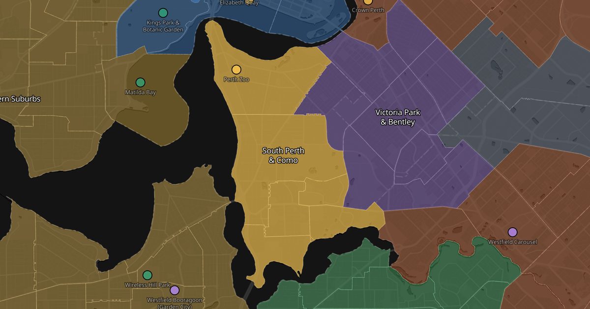
South Perth & Como
The skyline postcard
- From the CBD
- 5.1 km
- Area
- 18 km²
- Rent
- High rent
- Suburbs
- 6
Across the river, facing the CBD towers: the classic Perth photo is taken from the South Perth foreshore. There is the zoo, the ferry that crosses the river in eight minutes, a strip of expensive riverfront apartments and quiet residential streets behind.
Good for
- River and skyline views
- Commuting by ferry
- Running and cycling on the foreshore
Watch out
No train station: ferry, bus or the Kwinana Freeway.
Getting around
The Elizabeth Quay–South Perth ferry (8 minutes) and buses along Canning Highway.
Suburbs
Tap a suburb to see it — and its photos — on Google Maps.
Places here
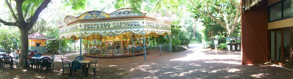
Perth Zoo
A zoo in South Perth reachable by ferry. Strong Australian fauna and orangutan sections.
See photos and details on Google Maps →Other areas
Subiaco & Shenton Park Polished, leafy and one train from town Victoria Park & Bentley Perth's best eating strip Industrial belt Where the labouring jobs are Mount Lawley, Highgate & Inglewood Beaufort Street, end to end Leederville & Mount Hawthorn Indie cinema, vintage shops and craft beer Wembley, Floreat & City Beach Big house, backyard, beach in 10 minutes
These are impressions, not statistics: one person, a few months, a city of two million. Suburbs change street by street — use this to know what to go and look at, then go and look.