
Residential & family
Stirling, Balcatta & Osborne Park
The well-placed middle ground
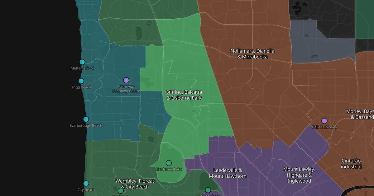
- From the CBD
- 8.8 km
- Area
- 29 km²
- Rent
- Mid rent
- Suburbs
- 7
Quiet residential streets pressed against two corridors that solve daily life: Scarborough Beach Road, lined with big-box stores and car yards in Osborne Park, and Stirling station, a bus and train interchange. It sits midway between the city, the beach and the north.
Good for
- Quiet without being far from anything
- Retail, workshop and warehouse jobs
- A good-value first share house
Watch out
Osborne Park is commercial and light-industrial — truck noise and no nightlife.
Getting around
Stirling station on the Yanchep line, with a bus interchange serving the whole area.
Suburbs
Tap a suburb to see it — and its photos — on Google Maps.
Places here
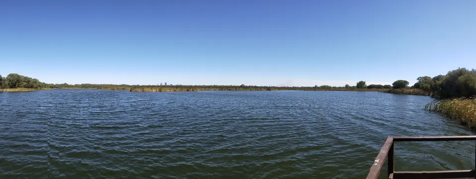
Herdsman Lake
A reserve full of waterbirds with a walking circuit. Far quieter than Lake Monger.
See photos and details on Google Maps →Posts from here
Other areas
These are impressions, not statistics: one person, a few months, a city of two million. Suburbs change street by street — use this to know what to go and look at, then go and look.