
Nature & wine
Perth Hills
Bush, waterfalls and three degrees cooler
- From the CBD
- 29 km
- Area
- 763 km²
- Rent
- Mid rent
- Suburbs
- 24
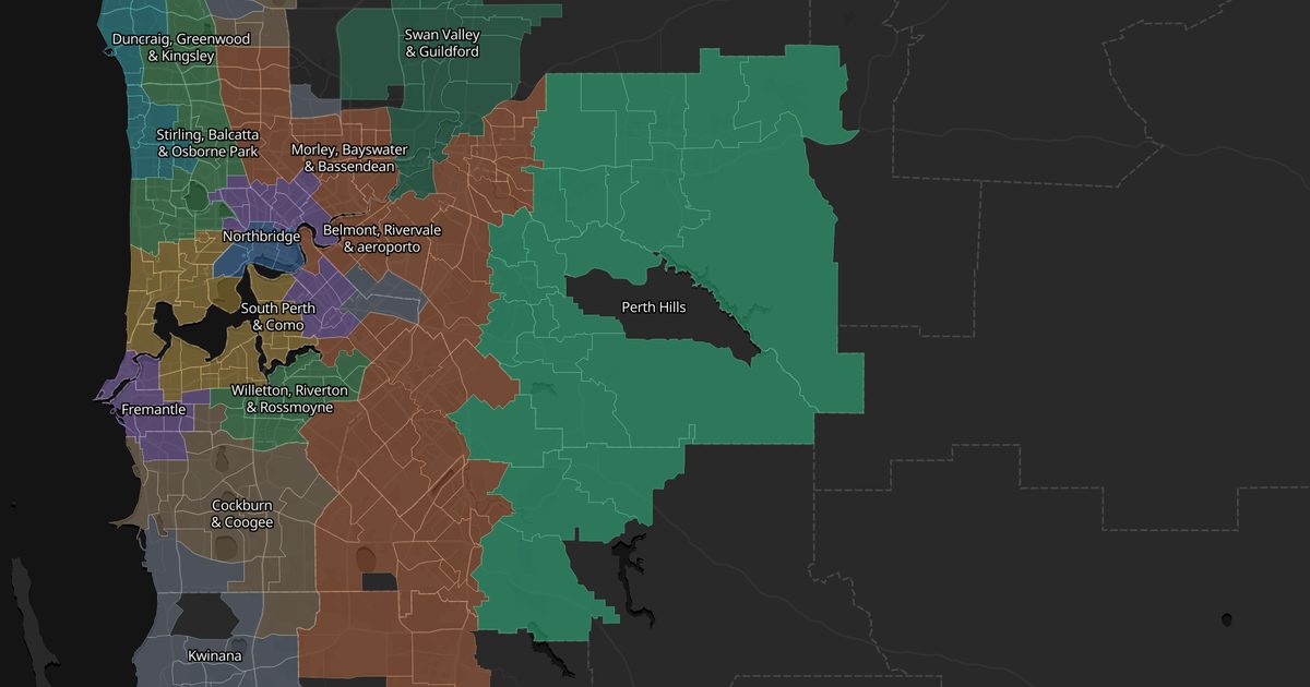
The escarpment east of the city: Kalamunda, Mundaring, Darlington and Roleystone, with tall jarrah, the Bibbulmun Track, Lesmurdie Falls and the lookout at Mundaring Weir. You live on a big block in the bush, about 30 minutes from the city.
Good for
- Weekend hikes and waterfalls
- Wanting a big block and silence
- Escaping the summer heat
Watch out
Bushfire risk in summer is serious here — you need an evacuation plan.
Getting around
No train: a car is close to mandatory, with limited buses from Midland.
Suburbs
Tap a suburb to see it — and its photos — on Google Maps.
Places here
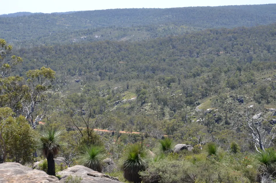
John Forrest National Park
WA's oldest national park: a disused railway tunnel, a winter waterfall and bush trails.
See photos and details on Google Maps →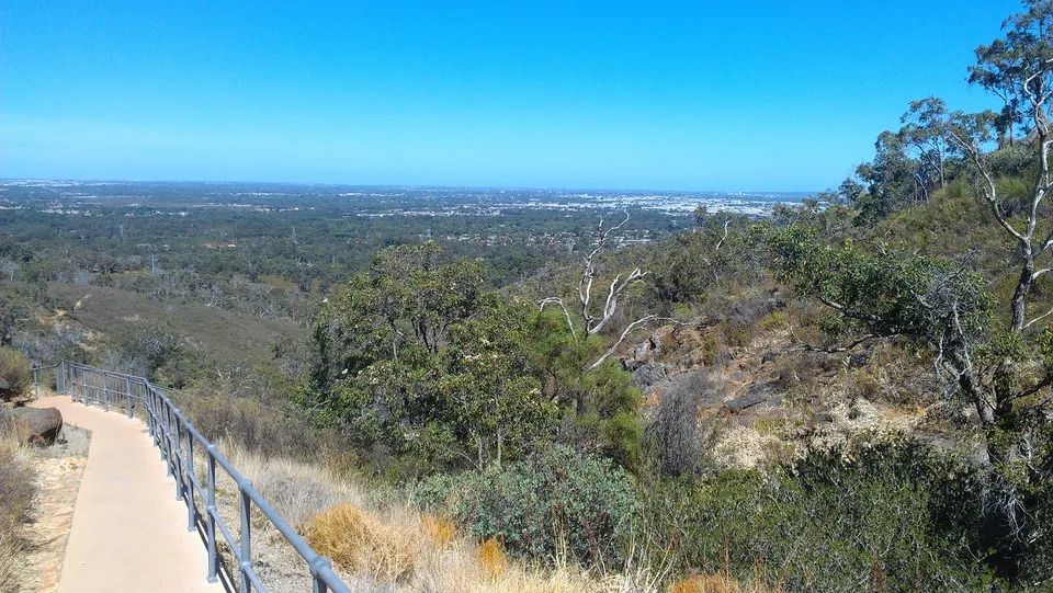
Lesmurdie Falls
A Perth Hills waterfall with a view across the plain to the sea. Go in winter or spring — it dries up in summer.
See photos and details on Google Maps →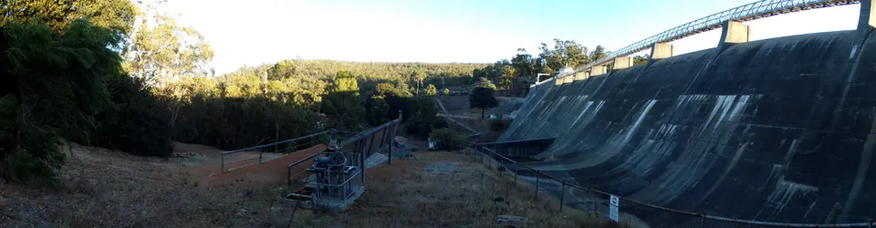
Mundaring Weir
The dam that supplies goldfields mines 500 km away, an engineering feat from 1903. Trails and lookouts around it.
See photos and details on Google Maps →Other areas
These are impressions, not statistics: one person, a few months, a city of two million. Suburbs change street by street — use this to know what to go and look at, then go and look.